
Tech pilot for radically better decisionmaking on new building proposals!
- 27. okt. 2020
- 5 min lesing
The problem
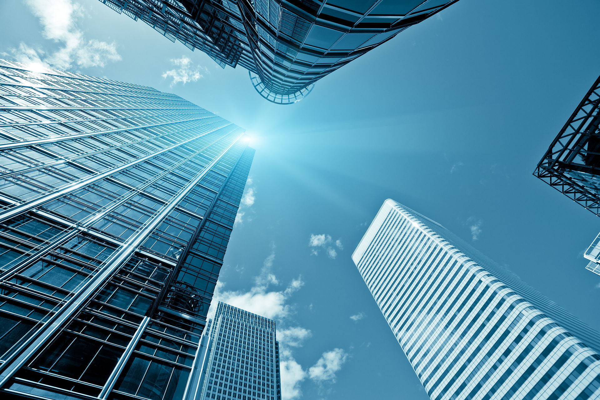
Today we are normally using pre-rendered computer graphics to visualize the physical reality on how buildings will appear. As architectural renderings appear to get more realistic there are certain tricks of the trade to be mindful of. It is not uncommon to deliberately distort buildings using ticks like a wider lens, exaggerated angles or dramatic perspective, lighting and strategically placed virtual props so that a building can appear more sculptural, greener, more environmentally friendly or taller than it actually is. The B1M just published a video on the problem with hyper-real renders.
They ask: Are we making huge, emotive decisions about buildings, based on misleading information?
As the famous new Munch-museum in Bjørvika turned out quite different from the renderings presented years earlier, we think the answer is yes.

This is not the fault of the technology, which is developed to create images that are as true to real life as possible, but of the people using it and the typical process related to visualization for planning. Changing people is a difficult task, especially in an environment where there exists an incentive to lie.
But what if new technological breakthroughs could make it possible to use photorealistic graphics in an entirely different way?
What if we somehow could move away from the 2D pitch decks and static pre rendered imagery and create real-time physically accurate visualizations of the building proposals in 1:1 scale on the actual location where they are intended to be? Well now we can, using advances in AR, 5G + Edge compute, realtime ray-tracing and high definition reality capture. Going forward a lot of the misleading ‘tricks of the trade’ could be thrown to the dustbin of history and we can truly understand how proposals will appear in real life.
The possibilities
More Computing power - 5G and Edge computing
With 5G being rolled out in major cities all over the world, low-latency access to computing power that is not physically on your device will become the new standard.
Edge computers are enabled by better and better GPU’s like Nvidia’s RTX chips, that gets its name from enabling real time ray tracing. When you have a city with a lot of 5G masts with edge computers that enable ultra low latency for in-rage devices, one could think of 5G as a giant supercomputer. This enables two key aspects related to our problem.
1. AR glasses could become more like Sunglasses, as some of the necessary hardware is taken care of by the edge computers.
2.Streaming of photorealistic 3D representations of buildings on site
Better positioning technology – AR Cloud
The AR Cloud is a real-time 3D (or spatial) map of the world, made for example by using 3D laser scanning or photogrammetry technology in smartphones, overlayed onto the real world. This makes for a much better positioning technology than GPS. Augmented objects in such an environment will need to be positioned and oriented with 6 degrees of freedom relative to the real world for us to view them as part of reality.
This technology is something that one of our founders, Jan-Erik Vinje, is very familiar with as he is also the Managing Director and co-founder of Open AR cloud (OARC), a non-profit organization that seeks to drive the development of open and interoperable spatial computing technology, data and standards to connect the physical and digital worlds for the benefit of all. Together with one of OARCs many partners, the Open Geospatial Consortium (OGC), OARC has taken the initiative to form an OGC Standards Working Group to develop a universal standard for GeoPose that enables 6 degrees of freedom in a universal geospatial frame of reference.
Augmented City, a commercial provider of AR-cloud based visual positioning and another partner of OARC is one of the first companies that has decided that they will support the GeoPose standard when available. Currently their solution offers positional accuracy of 10-30 cm which is a couple of orders of magnitude more accurate than what you will get from GPS in many urban locations.
The solution
The answer is no, you do not have to wait. Waiting could lead to another Much-museum, and we don’t want that!
At Superverse we have our own Edge computers with state of the art RTX cards that we can bring on site to enable the presentation. In preparation for the presentation we scan the surrounding area using the visual positioning technology of Augmented City.
There are three steps to our solution:
1. Send us one or more 3d architectural models or BIM models, tell us what building materials will be used and use our intitive upload solution to specify exactly where and how the buildings should be placed on the site. The investment you already made in making digital 3d models is about to provide an even greater benefit!
Our upload solution will be built on a geospatial 3d-engine to allow for the intuitive placement of buildings at an exact geospatial position and orientation relative to a high fidelity digital twin of the area.
2. Our approach to achieving an unprecedented level of realism will take into account the current weather and lighting conditions and the building's interaction with the physical surroundings in fine grained detail.
Our Archviz experts will prepare the 3d models with Physically based rendering (PBR) materials that are physically accurate representations of real construction materials.
This allows our solution to render each building proposal in real-time photorealistic ray-tracing on-site at 1:1 scale. We are dedicated to continuously develop new cutting edge methods to make on-site visualization as true to physical reality as possible.
3. You will be able to send links to either specific stakeholders or openly to all members of the public so that they can use the OnSiteViewer AR app* at the location with a seamless, frictionless and delightful user experience and give highly specific feedback on the proposal(s) based on the best possible real-world understanding.
Any feedback provided will be collected and viewable in the stakeholder feedback dashboard* that gives both big picture aggregates and the possibility to drill down to the specific feedback from specific locations. Early feedback makes it possible to iterate and improve on the proposals. Empowered by this new level of understanding, much better decisions can be made!

With our technology we enable a democratic approach to creating the cities we want. Our technology enables better understanding and better decision making. It can be used by architects to pitch their ideas to client without the risk of cheating, or general feedback from the society.
Our goal is that our first product, Onsite viewer will become a widely used application for the people to vote on suggested buildings, so that we can get data driven solutions to get the cities we want.
Today we are looking for pilot customers all over the world, to test our solution. If you have a big project and would like to remove the risk of negative feedback when the building is finished, do not hesitate to reach out to us!
Kommentarer